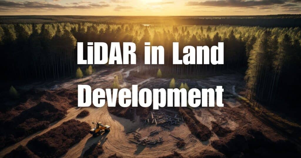
Land development projects require accurate, comprehensive, and up-to-date data to support informed decision-making and efficient resource allocation. As a cutting-edge remote sensing technology, LiDAR has emerged as a game-changer in the field of land development, offering numerous benefits and opportunities for stakeholders. This article will explore how LiDAR in land development is revolutionizing the industry, the challenges faced in its implementation, and how Blue Falcon Aerial can help unlock the full potential of LiDAR technology for your land development projects.
Overview of LiDAR Technology
What is LiDAR?
LiDAR, which stands for Light Detection and Ranging, is a remote sensing technology that uses laser pulses to measure distances and create detailed, three-dimensional representations of the Earth’s surface. By emitting thousands of laser pulses per second and measuring the time it takes for each pulse to return after reflecting off an object, LiDAR systems can generate accurate and precise data points, known as point clouds.
These point clouds can then be processed and analyzed to create various types of maps and models, such as digital elevation models (DEMs), digital surface models (DSMs), and digital terrain models (DTMs), which provide valuable insights into the topography, vegetation, and other features of a particular area.
How LiDAR works
LiDAR systems generally consist of three main components: a laser emitter, a receiver, and a Global Positioning System (GPS) and Inertial Measurement Unit (IMU) for georeferencing. These components work together to collect, record, and process the data needed to generate detailed, accurate point clouds.
The laser emitter sends out a series of laser pulses, which travel through the atmosphere and bounce off objects on the Earth’s surface. The receiver then captures the reflected laser pulses and records the time it takes for each pulse to return. The GPS and IMU devices provide the necessary geospatial information to accurately position the LiDAR data points in their correct spatial locations.
Once the raw LiDAR data is collected, it is processed using specialized software to filter out noise, classify points, and create the desired maps and models, such as DEMs, DSMs, or DTMs. These outputs can then be used for various applications, including land development.
Opportunities for LiDAR in Land Development
LiDAR technology offers a wide range of applications and benefits for land development projects, including the following:
Topographical Mapping
Accurate topographical maps are essential for land development projects, as they provide critical information about the terrain, slopes, and elevation changes of a particular area. LiDAR can generate high-resolution topographical maps that are more accurate and detailed than those created using traditional surveying methods. These maps can be used for site selection, design, and construction, ensuring that land development projects are built on a solid foundation.
Environmental Assessments
Environmental assessments play a crucial role in land development projects, as they help identify potential environmental impacts and inform mitigation measures. LiDAR can be used to assess various environmental factors, such as vegetation cover, hydrology, and wildlife habitats, providing valuable data to support environmental impact assessments and regulatory compliance.
Infrastructure Planning
Infrastructure planning requires comprehensive data on the existing conditions and features of a project site. With its ability to penetrate vegetation and capture detailed information about the Earth’s surface, LiDAR can provide accurate and up-to-date data for infrastructure planning, including roadways, utilities, and drainage systems. This information allows land developers to design and construct infrastructure more efficiently, reducing costs and minimizing environmental impacts.
Construction Progress Monitoring
Monitoring the progress of construction projects is essential to ensure that they are completed on time and within budget. LiDAR can be used to generate accurate, up-to-date data on the status of construction projects, helping project managers track progress, identify potential issues, and make informed decisions about resource allocation and scheduling.
Urban Planning and Design
Urban planning and design require a detailed understanding of existing land use, infrastructure, and natural features to create sustainable, livable communities. LiDAR can provide the high-resolution data needed to support urban planning and design processes, enabling planners and designers to make data-driven decisions and create effective land use plans, zoning regulations, and development guidelines.
In summary, LiDAR technology offers a wealth of opportunities for land development, enabling stakeholders to make informed decisions based on accurate, up-to-date data. From topographical mapping and environmental assessments to infrastructure planning, construction monitoring, and urban planning, LiDAR is revolutionizing the land development industry by providing unparalleled insights into the Earth’s surface and features.
Challenges in Implementing LiDAR in Land Development
Despite its numerous benefits and applications, LiDAR technology also presents some challenges for land development stakeholders. These challenges include:
Initial Investment and Implementation Costs
One of the main barriers to implementing LiDAR technology in land development is the initial investment required for purchasing or renting LiDAR equipment, as well as the costs associated with data processing and analysis. While the long-term benefits of LiDAR often outweigh these costs, some organizations may find it difficult to justify the initial investment, particularly for smaller-scale projects or those with limited budgets.
Data Processing and Analysis
Processing and analyzing LiDAR data can be a complex and time-consuming process, requiring specialized software and expertise. Land development stakeholders must invest in the necessary tools and training to ensure that they can effectively process and analyze LiDAR data, as well as develop workflows for integrating this data into their existing systems and processes.
Integration with Existing Systems
Incorporating LiDAR technology into land development projects often requires the integration of LiDAR data with other types of data and systems, such as Geographic Information Systems (GIS), Computer-Aided Design (CAD), and Building Information Modeling (BIM). This integration can be challenging, particularly for organizations that lack the necessary technical expertise or resources.
Legal and Regulatory Compliance
LiDAR data collection may be subject to legal and regulatory requirements, such as privacy laws, airspace restrictions, and environmental regulations. Land development stakeholders must be aware of these requirements and ensure that their LiDAR data collection activities are compliant with all applicable laws and regulations.
Blue Falcon Aerial’s Expertise in LiDAR-based Land Development Solutions
Blue Falcon Aerial is a leading provider of drone services, including LiDAR-based land development solutions. Our team of experienced professionals and cutting-edge technology can help you overcome the challenges associated with implementing LiDAR in land development, ensuring that you can fully unlock the potential of this powerful technology.
From customized LiDAR solutions and high-quality data collection to comprehensive deliverables and ongoing support, Blue Falcon Aerial is committed to helping land developers harness the power of LiDAR technology to make informed decisions, optimize resources, and create successful land development projects. To learn more about how Blue Falcon Aerial can assist you with your LiDAR-based land development needs, please visit our contact page to get in touch with our team.
In conclusion, LiDAR technology presents a wealth of opportunities for land development, including topographical mapping, environmental assessments, infrastructure planning, construction monitoring, and urban planning. However, it also comes with its share of challenges, such as initial investment costs, data processing, integration with existing systems, and legal compliance. By partnering with Blue Falcon Aerial, you can harness the power of LiDAR in land development and navigate these challenges with ease.
We encourage you to learn more about LiDAR technology by visiting our comprehensive guide, Aerial LiDAR 101: An Introduction to its Applications and Benefits. This resource will provide valuable insights into how LiDAR can be effectively utilized in various industries and scenarios.


