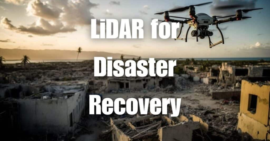
Imagine a world where disaster relief teams can quickly and accurately assess the extent of damage caused by natural disasters, allowing them to make informed decisions on resource allocation and efficiently execute recovery efforts. This is now possible with the help of LiDAR drones. Mapping disaster zones with LiDAR has revolutionized the way we approach disaster relief and recovery, offering unprecedented speed, accuracy, and safety. In this article, we’ll explore the technology behind LiDAR drones, their applications in disaster relief, and the many benefits they bring to the table.
What is LiDAR Technology?
Brief Explanation of LiDAR
LiDAR, which stands for Light Detection and Ranging, is a remote sensing technology that measures distances using laser light. It works by emitting laser pulses and then measuring the time it takes for the light to bounce back after hitting an object. This data is then used to create detailed, three-dimensional representations of the environment.
How LiDAR Drones Work
LiDAR drones are unmanned aerial vehicles (UAVs) equipped with LiDAR sensors. These drones fly over an area, emitting thousands of laser pulses per second and collecting the reflected light to build a precise 3D point cloud of the terrain below. The point cloud data can then be processed and analyzed to create detailed maps, digital elevation models, and other valuable insights about the landscape.
The Importance of Mapping Disaster Zones
Assessing Damage and Infrastructure Needs
Accurate mapping is critical for disaster relief teams to understand the extent of damage caused by a natural disaster. LiDAR drones can quickly gather high-resolution data, enabling relief teams to identify damaged infrastructure, locate debris, and assess the overall impact on the affected area. This information is crucial for prioritizing resources and directing assistance to the areas that need it the most.
Planning and Executing Relief Efforts
Relief teams require detailed information about the affected area to plan and execute their efforts effectively. LiDAR drone-generated maps provide essential information about the terrain, the state of infrastructure, and potential hazards that could impede relief efforts. This data allows teams to identify the best routes for accessing impacted areas and to determine the most efficient way to distribute aid and resources.
Monitoring Progress and Recovery
Mapping disaster zones with LiDAR drones is not only helpful for the initial assessment and planning stages but also for monitoring progress during the recovery phase. Regular flights over the affected area can provide updated information on the status of recovery efforts, allowing teams to track their progress, adjust their strategies as needed, and ensure that resources are being used effectively.
LiDAR Drones in Disaster Relief: Case Studies
Earthquakes
Earthquakes can cause widespread devastation, making it difficult for relief teams to access affected areas and assess damage. LiDAR drones have been used in the aftermath of earthquakes to create detailed maps of the impacted regions. These maps help identify areas with the most significant damage, allowing relief teams to prioritize their efforts and allocate resources efficiently. For example, after the 2015 Nepal earthquake, LiDAR drones were deployed to map the affected areas and assess the damage to buildings and infrastructure.
Floods
Floods can lead to significant changes in the landscape, making it challenging to assess the damage and coordinate relief efforts. LiDAR drones have been used to map flooded areas quickly, providing crucial information on the extent of the flooding and the impact on infrastructure. In the aftermath of Hurricane Harvey in 2017, LiDAR drones were used to map flood-affected areas in Texas, helping relief teams to identify the most severely impacted regions and prioritize their response.
Wildfires
Wildfires can spread rapidly, causing extensive damage to property and the environment. LiDAR drones can be used to assess the impact of wildfires on vegetation, infrastructure, and the landscape. For instance, during the 2020 wildfires in California, LiDAR drones were deployed to map the affected areas and provide valuable data to support firefighting efforts and plan for recovery and reforestation.
Hurricanes
Hurricanes can cause severe damage to coastal regions, destroying homes, infrastructure, and disrupting essential services. In the aftermath of a hurricane, LiDAR drones can be used to map the affected areas, providing critical information to relief teams. For example, after Hurricane Maria hit Puerto Rico in 2017, LiDAR drones were used to create detailed maps of the impacted areas, which helped guide relief efforts and assisted in restoring power to the island.
Benefits of Using LiDAR Drones for Disaster Relief
Speed and Efficiency
LiDAR drones can cover large areas quickly, providing high-resolution data in a fraction of the time it would take for traditional ground-based surveying methods. This rapid data collection enables relief teams to assess damage and begin coordinating their efforts much sooner, ultimately saving lives and reducing the overall impact of a disaster.
Accuracy and High-Resolution Data
The data collected by LiDAR drones is highly accurate and detailed, providing a wealth of information about the affected areas. This level of detail allows relief teams to make more informed decisions about resource allocation and planning, ultimately leading to more efficient and effective disaster response efforts.
Improved Safety for Relief Workers
Using LiDAR drones for disaster zone mapping reduces the need for relief workers to enter dangerous or unstable areas, minimizing the risk of injury or further damage to infrastructure. This remote sensing technology also allows for more frequent and updated data collection, ensuring that relief teams have the most accurate and up-to-date information possible.
Cost-Effectiveness
LiDAR drones can provide high-quality data at a lower cost than traditional surveying methods, making them a more cost-effective option for disaster relief efforts. Additionally, their speed and efficiency can help reduce the overall cost of relief operations by enabling more informed decision-making and resource allocation.
Challenges and Future Developments
Technical Limitations
While LiDAR drones have proven to be highly effective in mapping disaster zones, they do have some limitations. The quality of the data collected can be affected by factors such as weather conditions, vegetation cover, and the angle of incidence of the laser pulses. Additionally, LiDAR drones typically have a limited flight time and range, which can constrain their ability to cover large areas in a single flight.
Regulatory Considerations
The use of drones for disaster relief efforts may be subject to various local, regional, and national regulations. These regulations can include restrictions on drone flight altitudes, no-fly zones, and requirements for drone operator certifications. Navigating these regulatory frameworks can be a challenge for organizations looking to utilize LiDAR drones for disaster relief.
Advancements in LiDAR Technology
As technology continues to advance, we can expect to see improvements in LiDAR sensors and drone capabilities. These advancements could lead to even greater accuracy, longer flight times, and more efficient data processing. Additionally, the integration of artificial intelligence and machine learning algorithms with LiDAR data could lead to more automated and streamlined analysis, further enhancing the usefulness of LiDAR drones in disaster relief efforts.
In conclusion, mapping disaster zones with LiDAR drones is a game-changing approach to disaster relief. By providing accurate, high-resolution data quickly and safely, LiDAR technology allows relief teams to assess damage, plan and execute relief efforts, and monitor progress more efficiently than ever before. As we continue to face natural disasters, it’s crucial that we embrace innovative technologies like LiDAR drones to mitigate their impacts and save lives.
If you found this article insightful and would like to learn more about LiDAR technology and its applications, we encourage you to visit Aerial LiDAR 101: An Introduction to its Applications and Benefits. For any drone-related services you may need, don’t hesitate to reach out to Blue Falcon Aerial through our contact page. Let us help you harness the power of LiDAR technology and make a difference in your community.


