Stepping into the world of lidar indoor mapping, one can’t help but be amazed at the technology’s potential to revolutionize indoor navigation. By offering a unique ability to intricately detail indoor spaces with remarkable precision, lidar indoor mapping is proving to be a vital tool in a variety of sectors, from retail to disaster response. In this deep dive, we’ll explore what lidar is, how it works in indoor mapping, and how it is shaping the future of indoor navigation.
Key Takeaways
- Lidar Indoor Mapping Technology: Utilizes light detection and ranging for detailed indoor environment mapping.
- Applications: Useful in architecture, construction, emergency response, and building management.
- Comparison with Other Technologies: Offers higher detail and accuracy compared to manual surveying, photogrammetry, sonar, and radar.
- Process: Involves emitting laser beams and measuring their return time to create detailed maps.
- Benefits: High accuracy, fast data acquisition, versatility, and non-intrusive mapping.
- Challenges: Line-of-sight limitations, cost, technical expertise requirement, and processing time.

Lidar: An Overview
Definition and Function
Lidar, an acronym for Light Detection and Ranging, is a remote sensing method that utilizes light in the form of a pulsed laser to measure distances. These light pulses—combined with other data gathered by the aerial system— generate precise, three-dimensional information about the shape of the Earth and its surface characteristics.
The basic principle of Lidar revolves around emitting laser beams towards a target and then measuring the time it takes for the light to return to the sensor. The speed of light is a known quantity, and therefore the time delay can be converted into a distance measurement. By repeating this in quick succession, Lidar can build a complex map of distance measurements.
Applications and Uses
Lidar technology is versatile and has a plethora of applications spanning numerous industries:
Environment: Used in both terrestrial and aquatic environments to create high-resolution digital terrain and seafloor models.
Forestry: Assists in forest management and planning, including timber volume estimation, biomass studies, and growth modeling.
Infrastructure: Helps in the detailed documentation and inspection of buildings, bridges, and other infrastructure.
Autonomous Vehicles: Integral for obstacle detection and avoidance, mapping, and navigation.
Archaeology: Useful in creating detailed 3D models of archaeological sites, even under forest cover.
Mining: Used for surveying, calculating volumes, designing haul roads, and maintaining safety.
Indoor Mapping: The Current Scenario
The Importance of Indoor Mapping
As urbanization increases, the necessity for understanding the indoor environment is becoming more pronounced. Indoor mapping is a crucial tool in a wide array of fields from architecture, construction, security, to even emergency response planning. It facilitates better building management, planning and design, wayfinding, asset tracking, and maintaining building safety codes.
Current Techniques: Comparing Lidar with Other Mapping Technologies
There are several methods currently employed for indoor mapping:
Manual Surveying: This is the traditional method where a team of surveyors measure distances manually. However, this is time-consuming, labor-intensive, and lacks accuracy when compared to more modern methods.
Photogrammetry: This method involves taking a series of overlapping photos of a space from different angles and then using specialized software to stitch the images together and create a 3D model. However, it requires proper lighting conditions and may not be suitable for complex environments.
Sonar and Radar: Both are used for indoor mapping, particularly in environments not suitable for human intervention. However, they can be limited by signal interference and lower spatial resolution.
Lidar: Offers a higher level of detail and accuracy, faster data acquisition, and the ability to map complex environments compared to the other techniques. This makes it an increasingly preferred method for indoor mapping.
| Techniques | Pros | Cons |
|---|---|---|
| Manual Surveying | Low tech, no special equipment needed | Time-consuming, labor-intensive, less accurate |
| Photogrammetry | Can be done with common equipment (camera, drone) | Requires good lighting, less suitable for complex spaces |
| Sonar/Radar | Good for hazardous environments | Can suffer from signal interference, lower resolution |
| Lidar | High detail and accuracy, fast data collection, suitable for complex environments | Requires specialized equipment, higher cost |
Lidar Indoor Mapping: A Detailed Examination
Understanding Lidar Indoor Mapping: How Does It Work?
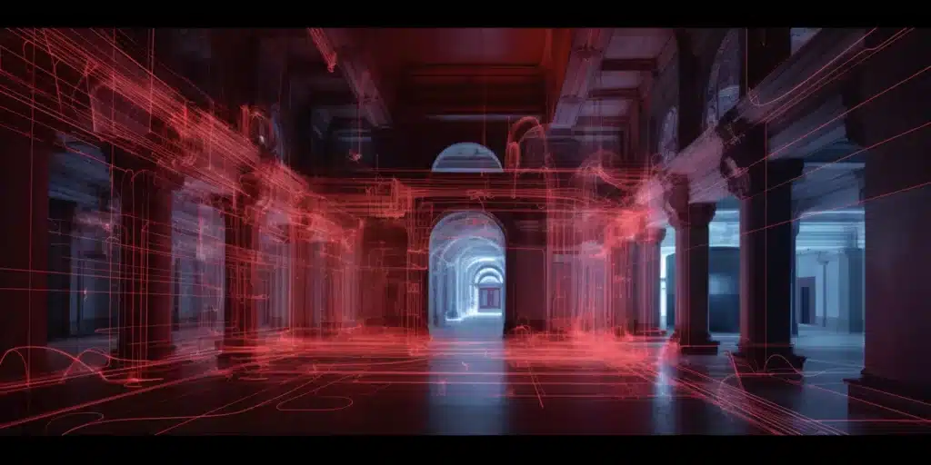
Lidar indoor mapping adopts the foundational principles of Lidar technology, but in a more complex environment – indoors. Essentially, a Lidar sensor emits thousands of laser pulses per second, each of which bounces off surfaces like walls, floors, ceilings, furniture, and other objects in an indoor environment. By recording the time each laser pulse takes to bounce back, the Lidar sensor can calculate the distance to each point. This process is repeated in rapid succession, with the sensor moving around to capture different parts of the space, thus creating a detailed and highly accurate 3D representation of the indoor environment.
The data captured by a Lidar sensor is generally referred to as a ‘point cloud’, a dense collection of points representing the environment’s structure. This data can then be processed to form a 3D model or map of the interior space, providing valuable information for a variety of applications.
The Versatility of Lidar: What Types of Buildings or Spaces Can Benefit?
Lidar’s capabilities make it a versatile tool suitable for mapping a broad range of indoor environments. From smaller spaces like residential homes and shops to expansive environments like warehouses, shopping malls, and complex structures like multi-story buildings, factories, or museums, Lidar is beneficial. It’s even ideal for spaces where manual mapping would be particularly difficult or unsafe, such as hazardous industrial sites or historical structures where minimal contact is preferred to preserve their integrity.
Processing and Analyzing Lidar Data for Indoor Mapping
Once data is collected, it’s processed and analyzed for meaningful interpretation. Initially, the ‘raw’ Lidar data is processed to remove noise and unrelated data points. It’s then analyzed, and the point cloud data can be used to create 3D models or maps using specialized software. Further processing can also extract valuable information such as the layout of the building, the location of structural elements like columns and beams, and details of the interior design. This data can be used for various purposes, from creating virtual tours of the building to improving the building’s design or navigation within it.
Lidar Indoor Mapping: Industry Standards and Guidelines
There are industry standards and guidelines to ensure the quality and reliability of Lidar data. These cover various aspects from the type of equipment used, the processing of the Lidar data, to the presentation of the final 3D model. Standards may also dictate specific procedures for certain applications or types of environments, ensuring that Lidar indoor mapping consistently delivers high-quality, accurate, and useful data.
The Advantages and Challenges of Lidar Indoor Mapping
Advantages: The Unique Benefits of Using Lidar for Indoor Mapping
The unique benefits of using Lidar for indoor mapping include:
High Accuracy: Lidar provides high-resolution, accurate data, essential for creating detailed 3D models of indoor environments.
Fast Data Acquisition: Lidar can rapidly capture the indoor environment, making it quicker than traditional mapping methods.
Versatility: Lidar is suitable for a wide range of environments, regardless of their size or complexity.
Non-Intrusive: Lidar mapping can be performed without disturbing the normal operations of a space.
Mapping Complex Environments: How Accurate is Lidar?
The accuracy of Lidar indoor mapping is one of its key strengths. Lidar can capture up to millions of data points per second, allowing it to map intricate details and complex environments with a high degree of precision. This means it can effectively map areas with many obstacles and details, making it an ideal choice for indoor environments.
Considerations: Any Limitations or Challenges of Using Lidar for Indoor Mapping?
Despite its many advantages, there are also some considerations to bear in mind when using lidar for indoor mapping.
Line-of-Sight Limitations
Lidar functions on a line-of-sight basis. This means that it can only map the areas that the laser beam can directly reach. In complex indoor environments with many obstructions, some areas might not get mapped accurately.
High Cost
Lidar equipment can be expensive, particularly high-end models. While the cost has been decreasing over the years due to advancements in technology, lidar mapping may still represent a significant investment, especially for small businesses.
Technical Expertise Required
The operation of lidar equipment and the processing of lidar data require technical expertise. While some user-friendly lidar systems have become available, a basic understanding of the technology is still required to ensure accurate and reliable mapping.
Processing Time
Processing lidar data to create 3D maps can be time-consuming, especially for large indoor spaces. This is due to the massive amount of data that lidar systems can generate.
While these challenges exist, it’s important to note that the benefits of lidar indoor mapping often outweigh the limitations. Furthermore, the industry continues to innovate, finding new ways to mitigate these challenges and improve the technology.
Lidar Indoor Mapping Applications
Common Applications: From Navigation to Architectural Design and Planning
The high-resolution data gathered by lidar indoor mapping systems finds its use in a variety of applications. Let’s explore some common uses:
Navigation: In large indoor spaces such as malls, hospitals, airports, and office buildings, lidar mapping provides precise data to create accurate indoor navigation systems. It helps users find their way around efficiently.
Architectural Design and Planning: Architects and interior designers use the detailed 3D models produced by lidar mapping to visualize and plan the design of a space. It allows them to understand the nuances of the space, including the dimensions, structure, and details.
Building Information Modeling (BIM): Lidar indoor mapping data can be integrated with BIM systems, offering engineers and architects a detailed understanding of the building’s existing conditions. It’s particularly beneficial in renovation projects.
Facility Management: For large facilities such as warehouses and factories, lidar indoor mapping can assist in managing space and resources efficiently. It’s also used for asset management, inventory management, and layout optimization.
Emergency Planning: Lidar mapping data is valuable in planning evacuation routes and emergency response strategies. It provides detailed information about the building layout, exits, and potential obstacles.
Lidar in Action: Real-life Examples and Case Studies
Lidar indoor mapping technology has already been deployed in various sectors. Here are a few real-world applications:
Retail Industry: Large retail stores and shopping malls use lidar indoor mapping to improve customer experiences. The technology helps in designing store layouts, tracking customer behavior, and creating indoor navigation solutions.
Museum Mapping: Museums and historical sites often use lidar mapping to create 3D models for preservation purposes, virtual tours, and planning of exhibits.
Industrial Applications: In industries such as manufacturing, oil and gas, and energy, lidar is used to map facilities for operational efficiency and safety planning.
Construction and Real Estate: In the construction sector, lidar mapping is used for as-built documentation, comparing construction progress with plans, and integrating data with BIM.
Future Trends
The future of lidar indoor mapping looks promising with the development of new software and hardware technologies, as well as increasing adoption across various industries.
Lidar-Based Indoor Mapping Software
Advanced software solutions are being developed to process and visualize lidar data efficiently. These tools offer features like automatic object recognition, real-time mapping, and integration with other data sources for a more comprehensive understanding of indoor spaces.
Lidar-Based Navigation Systems
Lidar-based navigation systems are expected to become more sophisticated, offering real-time updates and personalized navigation services. They could be integrated into mobile applications, autonomous robots, or augmented reality systems, transforming the way we navigate indoor environments.
More Diverse Applications
With improvements in technology and reductions in cost, we can expect lidar indoor mapping to be adopted in more industries and for more diverse applications. For instance, it could be used in healthcare facilities for patient navigation, in sports arenas for seating management, or in educational institutions for space utilization studies. The possibilities are endless.
In conclusion, lidar indoor mapping is a versatile and powerful technology with a wide range of applications and significant future potential. As the technology continues to evolve and become more accessible, we can expect it to revolutionize indoor navigation and space management in various industries.
Advancements and Trends in Lidar Indoor Mapping Technology
Technology never stays stagnant, and lidar indoor mapping is no exception. The advancements in this field have been impressive, and future trends indicate further evolution.
Miniaturization of Lidar Sensors
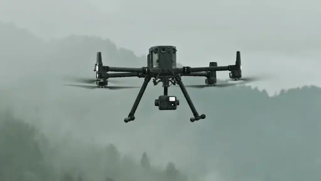
Lidar sensors are getting smaller, lighter, and more efficient. These advancements will allow for more portable and cost-effective lidar systems, enabling their use in a wider variety of applications, from handheld devices to drones.
Increased Automation
Future lidar systems are likely to feature increased automation capabilities, such as autonomous data collection and processing. This development could make lidar indoor mapping more accessible and user-friendly, requiring less technical expertise to operate.
AI and Machine Learning
Artificial Intelligence (AI) and machine learning are being integrated into lidar processing software to automatically recognize and classify objects and features in the mapped environment. This technology will greatly enhance the data’s utility and accuracy.
Lidar Indoor Mapping for Small Businesses and the Retail Industry
While often associated with large-scale projects, lidar indoor mapping has plenty of potential for small businesses, especially in the retail industry. The technology can provide valuable insights to optimize space usage, enhance customer experiences, and increase operational efficiency.
For example, retailers can use lidar indoor mapping to design store layouts that enhance customer flow, place products strategically, and create effective signage. They can also analyze customer behavior, tracking how customers move through the store and interact with displays, to make data-driven decisions.
The Potential of High-Resolution Lidar Scanning for Indoor Environments
High-resolution lidar scanning is a game-changer for indoor mapping. It allows for the creation of highly detailed 3D models of indoor environments, capturing minute features that other technologies might miss.
The implications are wide-ranging. For instance, in historical preservation, high-resolution lidar can create detailed records of historical sites, capturing intricate details of artwork or architecture. In the construction industry, such detailed scans can help detect anomalies and ensure that the construction is following the architectural plan.
Exploring Affordable Lidar Indoor Mapping Solutions and Integration with BIM
One of the challenges of lidar indoor mapping has been its perceived cost. However, advancements in technology are driving costs down, making it more accessible for all sizes of projects. Affordable lidar solutions are available in the market that offers robust capabilities for indoor mapping.
Integration of lidar indoor mapping with Building Information Modeling (BIM) is another growing trend. Lidar data can be used to create or update BIM models, providing architects, engineers, and construction professionals with accurate, detailed information about the building’s existing conditions. This integration can lead to improved design decisions, fewer errors, and cost savings.
In conclusion, lidar indoor mapping has transformed the way we interact with indoor environments. With its ability to accurately map complex spaces and offer unparalleled precision, this technology is proving indispensable in various sectors.
Want to stay ahead of the curve in the rapidly evolving world of drone technology? Then don’t miss our extensive guide on building and growing your drone business. There, you’ll find invaluable insights into leveraging groundbreaking technologies, like lidar mapping, to scale your operations.
Should you need professional drone services, we at Blue Falcon Aerial are ready to help. Reach out to us via our contact page. Let’s explore how our expertise can meet your drone-related needs. Partner with Blue Falcon Aerial, and let’s shape the future of navigation together!


