Blue Falcon Aerial
Previous Work
Blue Falcon Aerial
Project Gallery
Welcome to the Blue Falcon Aerial project gallery page! Here you will find a collection of our latest and greatest projects showcasing our expertise in aerial lidar mapping using drones. Our team of highly skilled professionals specialize in providing accurate and precise mapping data for a variety of industries. Through the use of cutting-edge technology and advanced software, we are able to provide our clients with unparalleled insights and data that can be used to make informed decisions. Please take a moment to browse through our gallery and see for yourself the exceptional quality of our work.

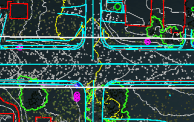
Roadway - Planimetrics
This Roadway Project Demonstrates how LiDAR can be used in a high risk area such as a roadway. Planimetrics are also showcased in this dataset.

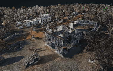
Avid Paintball - Enhanced Classification
This Project Demonstrates the Enhanced Classification that we are able to accomplish as well as show dense LiDAR data to accentuate small details.

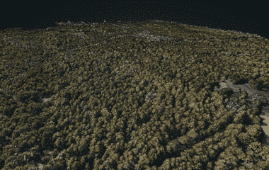
Land Development - 344 Acres
This is a larger acreage project that demonstrates how our LiDAR can penetrate through dense vegetation.
Reviews
What our clients say


