Welcome to the exciting world of droning in Broken Arrow! As drone technology continues to advance, more people are discovering the joy of flying these amazing devices. Whether you’re a seasoned pilot or just starting out, Broken Arrow, Oklahoma is a fantastic place to fly drones and capture stunning aerial photography. In this article, we’ll explore the ins and outs of droning in Broken Arrow, provide helpful tips for responsible flying, and introduce you to Blue Falcon Aerial, a local Oklahoma business offering expert drone services.
The Growing Popularity of Drones
Drones have seen a meteoric rise in popularity over the past few years, and it’s easy to see why. These versatile devices are not only fun to fly, but they also provide a unique perspective that can be used for various purposes, such as aerial photography, videography, and surveying. Drone technology has advanced rapidly, making it more accessible and user-friendly for enthusiasts of all skill levels.
Advancements in Drone Technology
Recent advancements in drone technology have made it easier for pilots to capture stunning aerial footage. Improvements in camera quality, stabilization systems, and flight controls have all contributed to this surge in popularity. Additionally, drones are now more affordable than ever, making them accessible to a wider audience.
Diverse Applications
Drones are used in various industries, including real estate, agriculture, and construction. They can help survey large areas, inspect infrastructure, and capture captivating images for marketing purposes. Furthermore, drones have also become popular tools for recreational use, allowing individuals to explore their creativity and document their adventures.
Why Fly Drones in Broken Arrow, Oklahoma
Broken Arrow is an ideal location for drone enthusiasts to take flight. With its beautiful scenery, drone-friendly regulations, and vibrant drone community, it offers a fantastic environment for pilots of all skill levels.
Beautiful Scenery and Landmarks
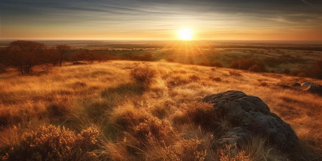
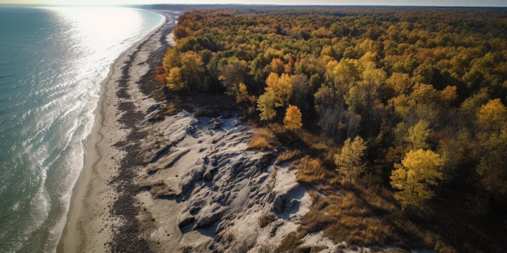
Broken Arrow is home to a diverse landscape that includes rolling hills, lush forests, and picturesque bodies of water. This stunning backdrop is perfect for capturing breathtaking aerial shots that showcase the natural beauty of the area. Additionally, the city is home to several iconic landmarks, such as the Rose District and Ray Harrell Nature Park, which provide unique and visually striking subjects for aerial photography.
Drone-Friendly Regulations
Oklahoma is known for its drone-friendly regulations, making it an appealing destination for drone pilots. While it’s essential to follow FAA guidelines and register your drone, the state of Oklahoma has embraced drone technology and works to create a supportive environment for pilots to enjoy their hobby responsibly.
A Vibrant Drone Community
Broken Arrow boasts a thriving community of drone enthusiasts, ranging from beginners to experienced pilots. This supportive network allows individuals to share their passion for drones, exchange tips, and collaborate on projects. Local drone clubs and online forums provide opportunities for pilots to connect and grow their skills, further solidifying Broken Arrow’s reputation as a premier destination for drone flying.
Tips for Flying Drones in Broken Arrow
Flying drones can be an exciting and rewarding experience, but it’s essential to be aware of the rules and regulations to ensure a safe and responsible flight. In this section, we’ll cover some crucial tips for flying drones in Broken Arrow, Oklahoma.
Registering Your Drone
All drone pilots in the United States must register their drones with the Federal Aviation Administration (FAA) if their drone weighs more than 0.55 pounds (250 grams) and less than 55 pounds (25 kilograms). Registration is a simple process that can be completed online through the FAA DroneZone website. Once registered, you’ll receive a unique registration number that must be displayed on your drone.
Following FAA Regulations
When flying drones in Broken Arrow, it’s essential to adhere to FAA regulations to ensure the safety of yourself and others. Some of the key guidelines to follow include:
- Fly at or below 400 feet above ground level
- Keep your drone within visual line-of-sight
- Do not fly in controlled airspace without proper authorization
- Do not fly over people or moving vehicles
- Avoid flying near airports and heliports
- Do not fly in adverse weather conditions
- Do not fly while under the influence of drugs or alcohol
For a complete list of FAA drone regulations, visit the FAA’s website.
Respecting Privacy and Property Rights
As a drone pilot, it’s essential to respect the privacy and property rights of others while flying. Avoid flying over private property without permission and refrain from capturing images or video of individuals without their consent. By being mindful of these considerations, you can help foster a positive relationship between drone pilots and the community at large.
Top Drone Models for Aerial Photography in Broken Arrow
With so many drones on the market, it can be challenging to determine which model is best suited for your needs. In this section, we’ll highlight some of the top drone models for aerial photography in Broken Arrow, taking into consideration factors such as camera quality, flight stability, and ease of use.
DJI Air 2S
The DJI Air 2S is a compact and powerful drone that offers impressive camera capabilities, including a 20-megapixel sensor and 5.4K video resolution. With its obstacle avoidance system and excellent flight stability, the Air 2S is an excellent choice for capturing stunning aerial footage in Broken Arrow.
Autel Robotics EVO Lite+
The Autel Robotics EVO Lite+ is a versatile drone that boasts a 3-axis gimbal, a 32-megapixel camera, and 6K video capabilities. Its compact design and intuitive controls make it an ideal option for pilots of all skill levels looking to capture high-quality aerial images.
Skydio 2
The Skydio 2 is an American-made drone known for its advanced autonomous flight capabilities, making it perfect for capturing dynamic shots in Broken Arrow’s varied landscape. With a 12-megapixel camera and 4K video, the Skydio 2 offers excellent image quality and a unique flying experience.
DJI Phantom 4 RTK
For professional drone pilots in need of precise aerial surveying capabilities, the DJI Phantom 4 RTK is a top choice. This drone offers a 20-megapixel camera, 4K video, and advanced GPS technology for accurate mapping and data collection.
When choosing a drone for aerial photography in Broken Arrow, consider factors such as your budget, skill level, and specific needs to find the perfect model for you.
Drone Services Offered by Blue Falcon Aerial
Blue Falcon Aerial is a local Oklahoma business specializing in drone services, providing expert aerial LiDAR and orthomosaic mapping solutions to clients in Broken Arrow and beyond. With their skilled pilots and state-of-the-art equipment, Blue Falcon Aerial can help you achieve accurate and detailed mapping results for your project. In this section, we’ll explore the key services offered by Blue Falcon Aerial.
Aerial LiDAR Mapping
LiDAR (Light Detection and Ranging) is an advanced remote sensing technology that uses laser pulses to measure distances and generate accurate, high-resolution 3D models of the environment. Blue Falcon Aerial’s aerial LiDAR mapping services can provide valuable data for various applications, including topographic surveys, infrastructure planning, and natural resource management.
By utilizing cutting-edge drones equipped with LiDAR sensors, Blue Falcon Aerial can capture precise data with a high level of detail, allowing for the creation of accurate digital elevation models (DEMs), digital terrain models (DTMs), and digital surface models (DSMs).
Orthomosaic Mapping
Orthomosaic mapping is a technique that involves stitching together multiple high-resolution aerial images to create a single, seamless, and geometrically accurate map. This type of mapping is ideal for applications such as land surveying, construction progress monitoring, and agriculture management.
Blue Falcon Aerial’s orthomosaic mapping services can deliver detailed and accurate maps that are valuable for project planning, monitoring, and decision-making. Their experienced pilots use advanced drones and specialized software to create high-quality orthomosaics that meet the specific requirements of your project.
By choosing Blue Falcon Aerial for your aerial LiDAR and orthomosaic mapping needs, you can benefit from their expertise, commitment to quality, and exceptional customer service. No matter the scale or complexity of your project, Blue Falcon Aerial is ready to help you achieve your goals with their professional drone services. Contact them today!


